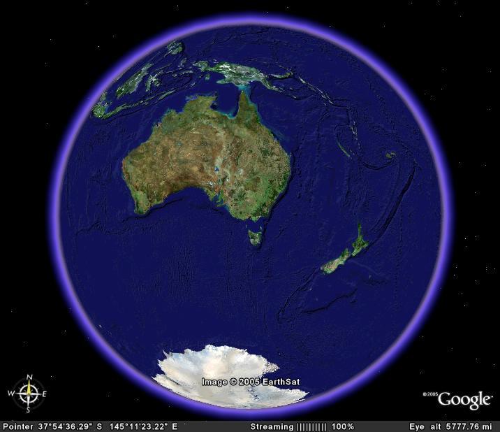
I had been waiting with anticipation for my invitation to use google earth beta. Well it has been released and I have a copy. If you want a copy, it’s free for personal use, click on the link below.
Google Earth
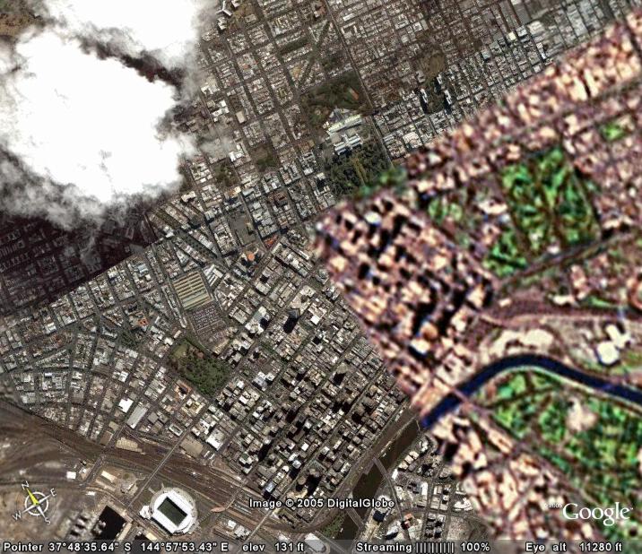
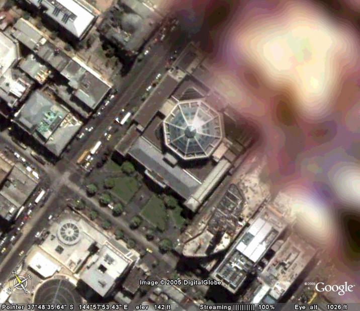
I soon realized that it gave me my own “digital” camera in space. Not only can I easily get conventional photo mosaic of relatively current satellite images and some aerial photos. I soon found I could create my own aerial views of anywhere, using combination of the simple zoom, tilt rotate & pan controls. Another nifty control lets you put place markers, just like mapping pins, which you can use to navigate your way around. You can even email these pins to others (in what is called KMZ format). Here is a simple example below.
Footnotes:
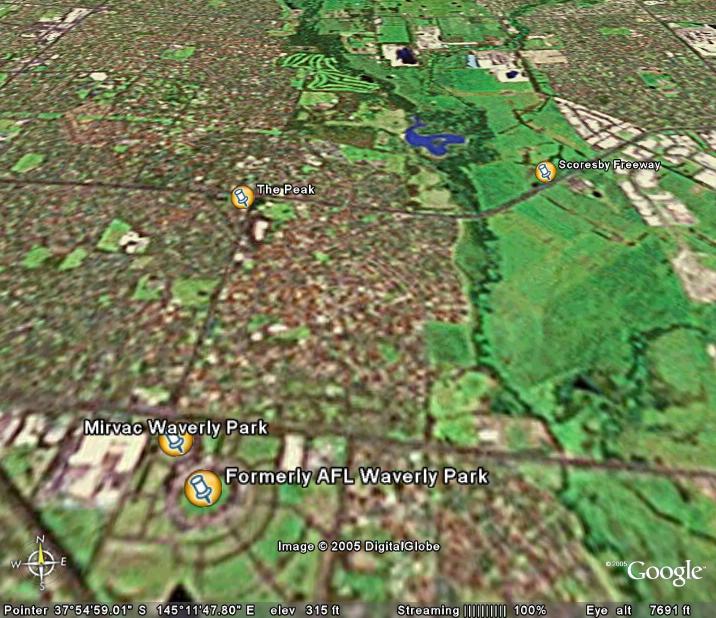
- The peak is a proposed development by AustCorp, it was rejected outright by the Monash Council last year. The Wheelers Hill Action group believes that there is atill a strong possibility for development beyond the three or four storey recommendation (see my cameraphone post below)
- Work on Scoresby Freeway has commenced already, Despite the "toll" controvesy costing the labor party several adjacent &marginal seats in the last federal election
- AFL's Waverly Park has been torn down to make way for a housing development, the playing surface, part of the stand remains and will soon be the training home of Hawthorn Football Club. The planning of this development was taken away from the Monash Council by the state government and given to Mirvac to build their vision of for a brand new suburb (closely spaced) homes for approximately 4000 residents
The software will only run on more recent PCs and needs decent broadband link to download the images
I got google earth because I am interested in geotagging my digital photographs, but that topic will have to wait while I play with my newest camera
No comments:
Post a Comment