You don’t have to post on
Flickr, or be a member of the
geotaggger's group, to be able display your images on a map. A new, and not well publicized feature (at the moment) added to picasa, is a geotag tool, which uses google earth.
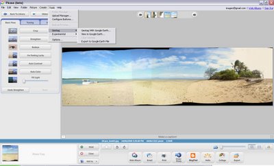
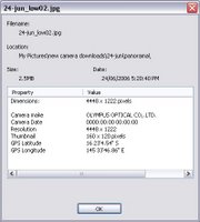
It lets you add latitude & longitude coordinates to your jpeg photo’s EXIF data . It is pretty easy to get working. Select a photo in picasa and then select the geotag with google earth option from the tool menu. This fires up google earth assuming you have it (if not is time you
downloaded it’s free)

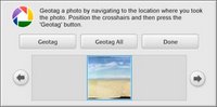
In google earth you will notice there is a central target. Down the bottom of the screen you will see a little picassa generated window with your photo. Just move to the location you took your photo (or the location you want to tag) and click on the geotag button in the picasa window. That’s it!
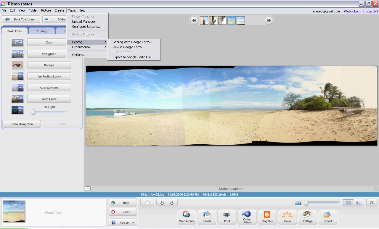
 It lets you add latitude & longitude coordinates to your jpeg photo’s EXIF data . It is pretty easy to get working. Select a photo in picasa and then select the geotag with google earth option from the tool menu. This fires up google earth assuming you have it (if not is time you downloaded it’s free)
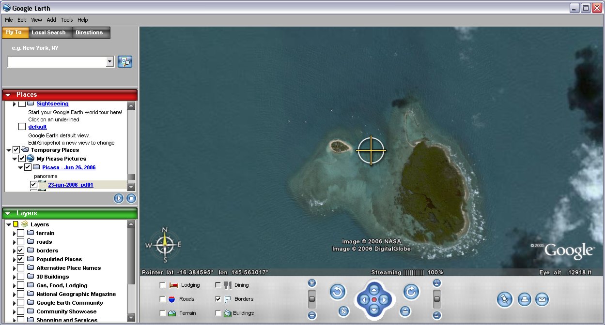
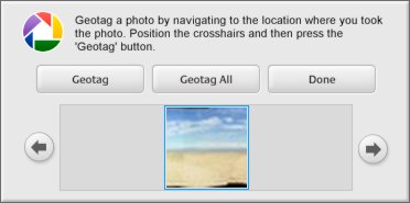 In google earth you will notice there is a central target. Down the bottom of the screen you will see a little picassa generated window with your photo. Just move to the location you took your photo (or the location you want to tag) and click on the geotag button in the picasa window. That’s it!
No comments:
Post a Comment